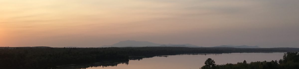
 As the sun rises over Mt. Chase and Shin Pond Village, I am reminded of the particular advantages to older hikers of the IAT. My walk began on the international boundary and, had I walked three more miles to Mars Hill, I could have stayed at the Bear Pond Inn, just across Rt. 1 from Al’s Diner on my first night. We stayed there often in 1995 and 1996 when we were working on the trail over Mars Hill Mountain.
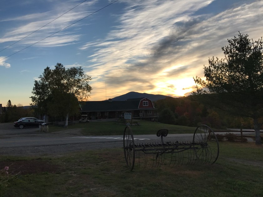
The Bear Paw Inn used to be the Midtown Motel, one of many “cheap motels” that Dick Anderson knew about after decades of working in Maine. At every opportunity, Walter Anderson chides Dick about his choice of words. “It’s inexpensive, Dick, not cheap.” Every once in awhile, however, during one trail-related journey or another, we’ve landed in a cheap place, and we’ve let Dick know that the distinction is — in fact — occasionally apt.
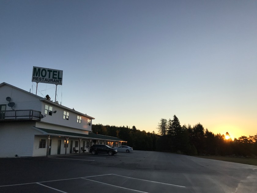
Heading south of Mars Hill, there is a nice B&B in Bridgewater, if memory serves. Ten or so miles south of the Monticello Trestle lean-to, the Stardust Motel has placed a sign on the multi-use railroad bed just outside Houlton; you can walk right to the back door on a convenient side trail. The Blue Moose Restaurant is not too far back up Rt. 1, and the owners allow IAT hikers to camp behind the building, with evening and morning access to the bathrooms.
A dozen miles further along is the Brookside Inn (Motel) and Restaurant, where I spent the third night of this trip. Here the big advantage is a nice tub for soaking weary bones.
Along the way through Smyrna, you could arrange to stay at the Yellow House B&B. It is 3 miles away in Oakfield, but you can arrange for a shuttle to and from the center of Smyrna with the proprietor.
When a group of us walked across County Donegal in Ireland last fall, we spent every night at a B&B or small hotel or hostel, and we didn’t have to carry a tent, sleeping bag, sleeping pad, or any of the kit for cooking a meal. Walking in the lap of luxury!
There are many advantages to being old and a hiker; first and foremost, you don’t have to feel the least bit guilty or bothered by sleeping in a bed and eating a nice hot breakfast the next morning cooked by someone else.
 Now, before you get too pushy or argumentative, hear me out, please. I don’t claim my little boil off to determine the better of two freeze-dried dinners was conducted with double-blind protocols and one thousand randomly selected participants. It’s just me. And, just comparing two brands of freeze-dried dinner; not even the same dinner made by two different companies.
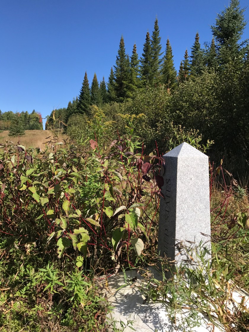 Trails are often designed and built for a specific purpose. A ski trail, a mountain bike trail, and an island to island trail — skis, mountain bikes, and boats in these examples.
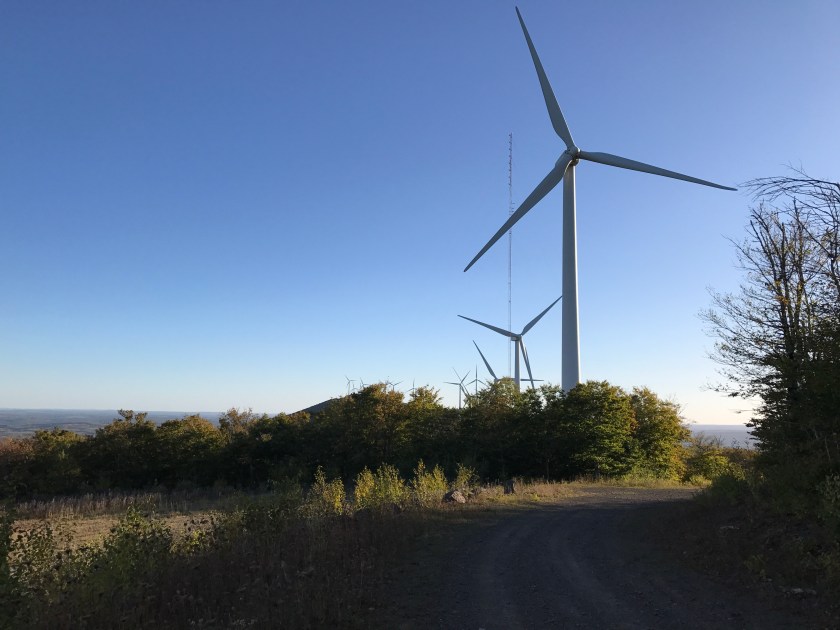 When I walked south from the end of the Sam Everett Road in Fort Fairfield yesterday, a single bird hunter on an ATV passed by me when I was having lunch. We didn’t speak more than hello; I think I surprised him, perched on the side of a monument as I was. He was probably an American, though he could have just as easily been a Canadian hunter.
 The entire route from Mars Hill town to the lean-to in Monticello where I sit writing this story was built in the 1890s for a steam locomotive hauling passengers and freight (mostly potatoes on the south bound trains). Today, depending on the season, you might encounter people on ATVs, snowmobiles, bicycles, cross country skis, or people simply walking along, of course. In addition to the lone rider I saw today, two hunters in a side-by-side came by late in the afternoon, looking for grouse. They came back an hour later, after dark, and I cannot report that they were successful.
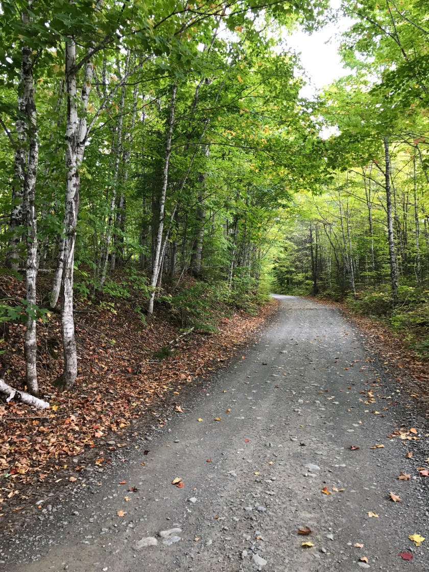 So far, our shared interests in a 50-mile stretch that was originally built for no travelers (the border swath), small maintenance vehicles (the Mars Hill ridge woods road), people on skis (Big Rock Ski Area), and the railroad (the abandoned Aroostook Railroad line) has become multi-use, and has not created problems or conflicts. And, when we pass one another on our separate ways, we have a chance to understand a measure better than before why we make these journeys the way we chose to make them. In this world, right now, that is a good thing.