 Trails are often designed and built for a specific purpose. A ski trail, a mountain bike trail, and an island to island trail — skis, mountain bikes, and boats in these examples.
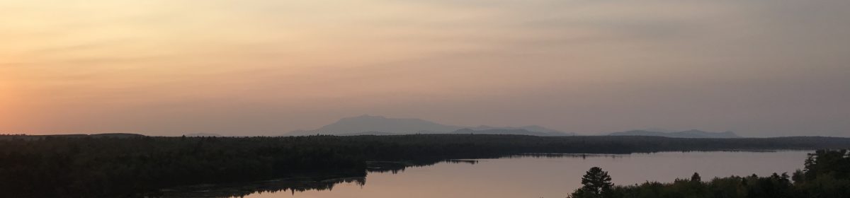
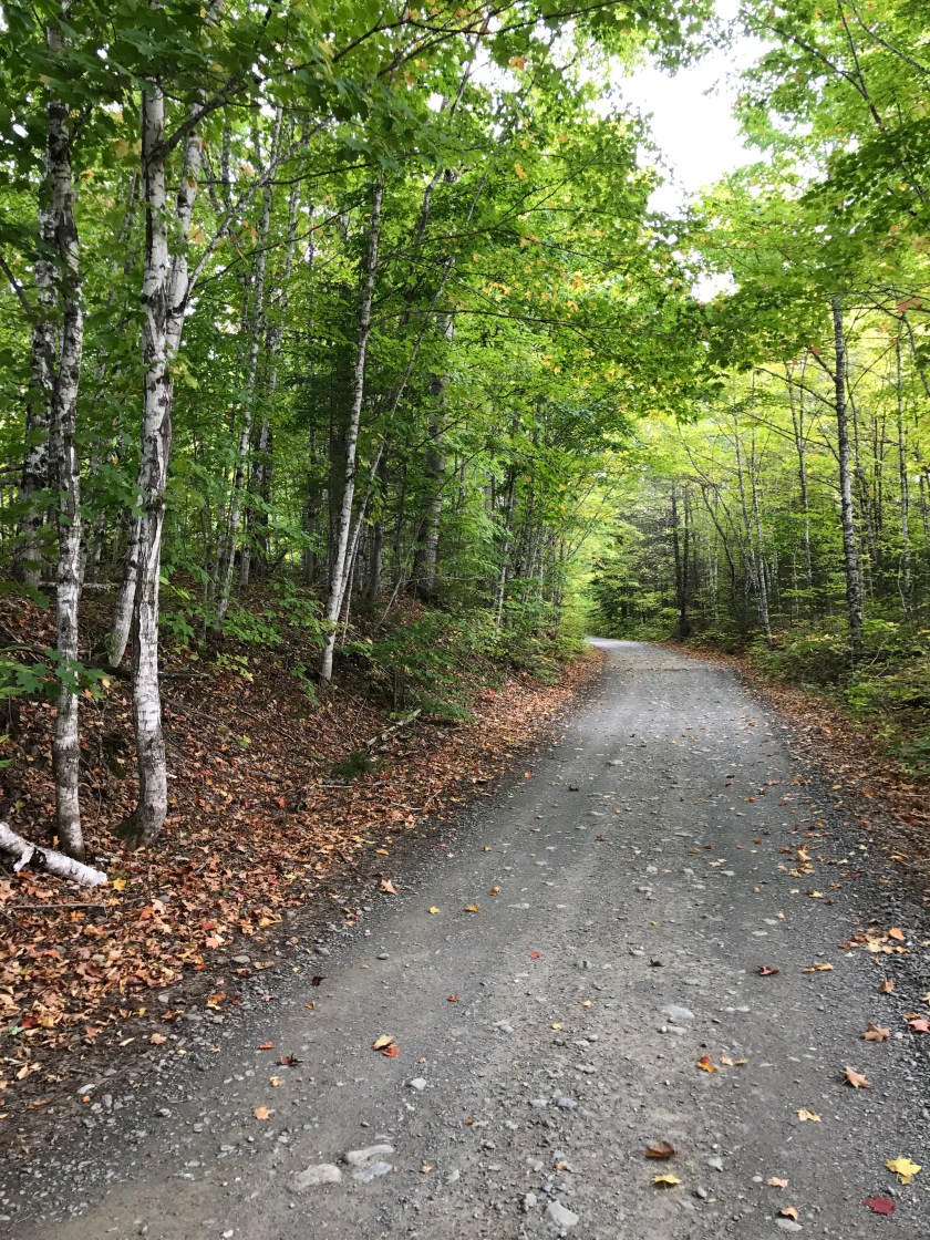
The first 50 or so miles along the IAT, heading south from the border crossing, has become a multi-use trail, but not by any grand design or plan.
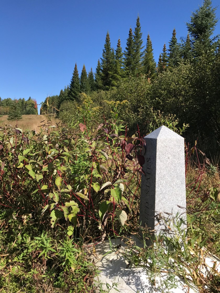
The border is a roughly 20′ swath through woods and wetlands, with quite random placement of concrete, granite, and even steel monuments placed along the centerline. The purpose of the cleared space and the monuments is to alert anyone who might meet the international boundary from an approach perpendicular to the swath, or at some other angle than parallel, that they have should not pass.
When Torrey Sylvester of New Limerick contacted me in his search for Dick Anderson, he spoke about his idea that the IAT should cross over the tallest mountain along the international border in Maine. We asked him to join the board — never let a good one off the hook! Within a couple of months, we had the permission of Torrey’s cousin, who owned Mars Hill Mountain, to put the trail down the spine, where a very old woods road provides access to the top of ski lifts on the south end and communication towers on the north end. Since the northern end of this easy ridge walk along the mountain ends just a fraction of a mile west of the border, we asked Torrey whether or not it would be possible to get permission to use the border swath for the trail. The answer came back in just a few days; so long as anyone intending to cross the border in any direction did so at the Fort Fairfield/Perth Andover stations, and did not stray from the swath at any point along the way, we were free to use the boundary as our trail.
 When I walked south from the end of the Sam Everett Road in Fort Fairfield yesterday, a single bird hunter on an ATV passed by me when I was having lunch. We didn’t speak more than hello; I think I surprised him, perched on the side of a monument as I was. He was probably an American, though he could have just as easily been a Canadian hunter.
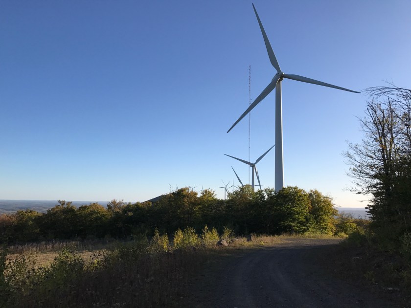
When I walked across Mars Hill Mountain at the end of the day, 2/3rds of the original path is now gravel access road to tend the 29 wind turbines on their towers. There were mountain bike tracks, truck tracks, and foot tracks along the way.
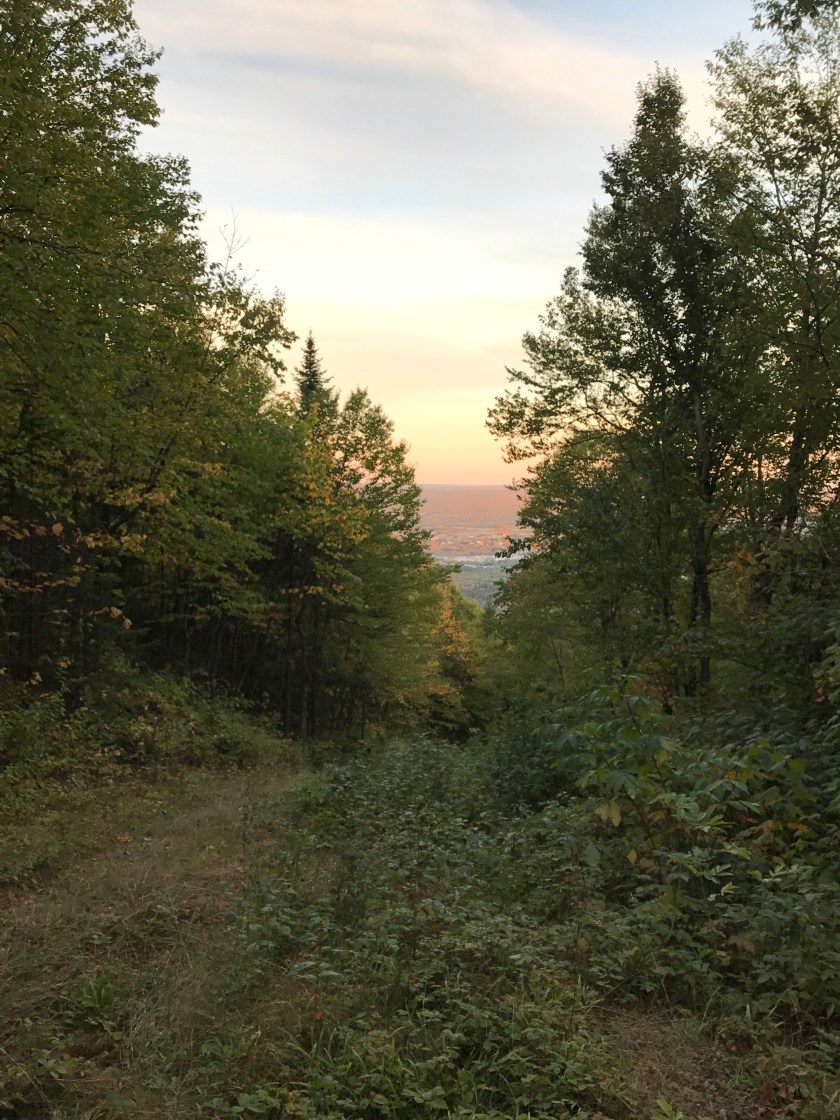
Part of the route down the hill today was on ski trails of the Big Rock ski area on the west face of the ridge line.
 The entire route from Mars Hill town to the lean-to in Monticello where I sit writing this story was built in the 1890s for a steam locomotive hauling passengers and freight (mostly potatoes on the south bound trains). Today, depending on the season, you might encounter people on ATVs, snowmobiles, bicycles, cross country skis, or people simply walking along, of course. In addition to the lone rider I saw today, two hunters in a side-by-side came by late in the afternoon, looking for grouse. They came back an hour later, after dark, and I cannot report that they were successful.
 So far, our shared interests in a 50-mile stretch that was originally built for no travelers (the border swath), small maintenance vehicles (the Mars Hill ridge woods road), people on skis (Big Rock Ski Area), and the railroad (the abandoned Aroostook Railroad line) has become multi-use, and has not created problems or conflicts. And, when we pass one another on our separate ways, we have a chance to understand a measure better than before why we make these journeys the way we chose to make them. In this world, right now, that is a good thing.

A modern Thoreau!!
LikeLike
Don, you might be interested to know that one of Kate’s Bowdoin roommates grew up in Monticello. Her family owned the Monticello Truck Stop, a diner and gas station. Stopped there once for breakfast on a business trip to Caribou in the late 80s.
LikeLike